I guess we have two prisons here say Dartmoor and Brixton, U.S. readers that`s rural and urban. So our trip begins in rural Radford Semele and ends in urban Warwick with little snatches of rural along the way.
There is on this post a heck of a lot of pictures, think of the numbers 5 and 8, possibly multiplied, added,subtracted, showing our trip but i make no apologies as being stuck here in the five mile prison blogging subjects are few and far between and this one just escalated. Just to emphasise the prison aspect this is the same route we take to go shopping or to get water and diesel but if you pick a bright sunny day it can be a mini holiday from clink. Click here if you don`t understand the word clink.


Through the bridge and immediately on the left is the site of the Radford Hall brewery that closed in the 1960`s.

I would prefer that the old brewery building was still there. The canal is to the right.
Windows on Warwickshire


A is the mooring at Radford Semele. Look to the right here and you can just make out a narrowing of the canal and a footpath. Earlier maps show a Drawbridge here and in the hedge along the towpath is what looks like the original stonework for it.
B is the 1st. bridge we came under with the site of the brewery on the left.
C is the access bridge to the wharf cottage.
D is the canal basin/arm.
Sydenham farm buildings are in the centre and you can see the size of the farm enclosed by the railway and canal.
Maps from national library of Scotland.


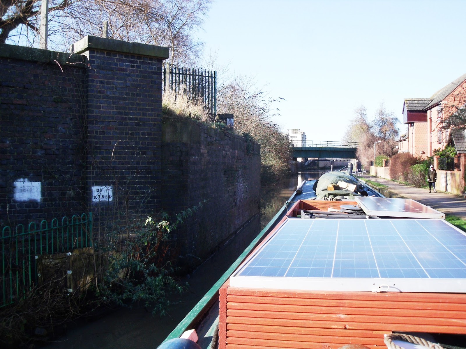


 Now we are in Leamington and this was the location of Eagle Foundry built in 1833.
Flavel took over Eagle foundry in 1856 and one of it`s early products was the Flavel Kitchener.(left) Flavel became Rangemaster/Aga who still manufacture here and on the right is pictured the one millionth stove to be produced about a year ago.

Eagle foundry from the canal about 1850.
 |
| Flavel factory 1937. Notice the footbridge over the canal still part of the present day scene. |


 a rural feel in this cutting.
 One of three canal side pubs within the prison limits.
 Plenty of housing along here but looking at old maps reveals just fields.


 |
| Aqueduct over the River Avon. |


In 1805 Emscote corn mill was established here with the grinding wheels powered by canal water. It was altered in 1885 and 1905 and ended life as the Fleur de Lys pie factory that the flats are named after.
Late 1880`s maps show a boat building yard and slipway next to the bridge. Also at this time a tramway is shown crossing the bridge. This turned out to be not something to do with the canal but horse buses.

The horse buses were replaced by electric trams in 1905 when the Tesco site became a power station and a Tram depot.
The 3 mile route between near Leamington and Warwick ended in 1930. Boating would have been much more fun to see these going over the bridge.

Electric Tram in the depot on the Tesco site. The power station was fed by coal delivered by canal and used water from the River Avon.

 This is the site of Emscote Mills where the Nelson family made Gelatin from hides, calves hooves and animal tissue all of which came by canal boat. This is the same Nelson family that had quarries and lime kilns at Nelson Wharf that I blogged about here. Lime came from Stockton to Emscote to be used in the gelatin production. As at Stockton the Nelson family built housing here and a social club(right) for it`s workers and it`s all still there today.

OK so by now you might be tired of this epic blog but I can only apologise but I got carried away as i kept finding out bits and pieces of the route to the hospital. Just about there now so we can just cruise past what was mostly the gelatin works


 |
| A bit tight, about 8 feet. |
 |
| Kate Boats hire base. |
 |
| Good sign, summers on it`s way. |


I am now going to lie down....for a year.