As you work through the Stockton flight of eight locks that allow for a change in level of 55 feet in less than half a mile it`s hard to imagine the industrial past that existed on the offside.The flight is marked on the map below as 4-11. Up until the 1930`s they were all single locks. The double locks were installed alongside and the old singles take excess water into the next pound.
These quarries relied on the canal to bring coal for the Lime burning and taking away limestone and cement.
Looking at the map above you can see how the railway took a lot of
the canal trade by putting sidings into all the works along it`s route.
Boaters might have noticed on the map Sitwell`s Arm almost opposite the Kaye`s Arm,
traces of it can still be found. Also the two Blue dotted arms past
lock 4. The first one is now Kate Boats marina and the second one past
the bridge has not been that kind in leaving clues but I will have
another look. Google earth shows the filled in quarry so you can get an
idea of the canal arm`s position. I would like to find evidence of the
railway crossing the arm.
The above map of the same area is 1885/86. This
LINK will take you to the maps where you can zoom and view the whole area for a better view.
A Kaye`s arm. B Sitwell`s arm. C Greaves Bull and Lakins works. D Griffin`s works
E is bridge 21 the Rugby Southam road, Boat Inn pub, Kate Boats and to the right of the bridge the site of the old quarry arm I want to investigate more.
The section above the Red line enclosed by the road and canal was owned in 1792 by the church. Part of it was sold to the Warwick and Napton canal company for £52 and the rest to a Mr. Tomes and Mr. Hanley for £885.
Thomes a solicitor was chairman of the canal company and Hanley the chief engineer. They also in 1819 were responsible for digging the Kaye`s arm that serviced the Southam works. At one time the intention was to take the canal into Southam village but it never happened.
By 1841 the land belonged to a Captain Lamb and he leased it to William
Griffin on a lease of £100 per year based on 4,000 tons of Limestone
being excavated per year. On the death of the captain the land was
bought by the Nelson family who owned Nelson`s works further along the
canal.
This is a zoomed in section of
E and
D above. To the lower left are the Lime kilns at Griffin`s works. The higher quarry near the Boat Inn that became Kate Boats is the section sold by the church. The quarry to the right of the boat inn is where one of the old quarry arms entered that are marked in Blue dots on the map at top of page.
Below two zoomed in views of
C. This is the Greaves, Bull
and Lakin works alongside locks 10/11. Notice the very wide
pound(section of canal between locks) where the buildings are next to
the canal. You can see the Kilns(circles next to canal) alongside what must have been a wharf. Also there appears to be a tramway running past the kilns alongside the canal to a building.
The first map is dated
1886 and the second
1904. (click dates for link to each map)
Notice how the railway has now appeared and the works has trebled in size with extra Tramways and the railway entering the works. The works became an Aluminium smelting works and today is used by
Dowdswell who make ploughs.
 |
| Remains of kilns at the Greaves site near the bottom of the flight. |
 |
| Chimney stands by lock five as a reminder of the Griffin works. | |
 |
Down to the bottom of the lock flight and the entrance to the Sitwell Arm that led to High Clays Lime works is where the two boats are moored on the right. Kaye`s arm is on left just past the trees.I would love to know more about this arm but that will wait for another day.
 Entrance to Kaye`s arm. Entrance to Kaye`s arm.
|
 |
| If you walk along the lane from the Blue Lias pub this lay by is a good marker for the old Sitwell arm. The tree line left and right is the route. |
 |
| Follow the tree line to the right and you can just see the entrance to the Kaye`s arm slightly right of centre. |
 |
| Very little left of the old canal bed. |
 |
| A 1932 view from the "Britain from Above" site of the Southam cement works at the end of the Kaye`s arm. The 1886 map shows it as Long Itchington works changing on the 1904 map to Southam works. The wagons on the lower right are just about to cross the canal. It is possible to walk on along the old railway trackbed to this bridge. |
 |
| Follow the Red line at the side of the pub a sharp right past the reservoir along the old rail trackbed. The rail bridge crosses the canal where the Red line crosses the Blue route of the present day Kaye`s arm. Nowadays it`s still a working site run by Cemex who still remove Limestone and Clay from the site. | |
 |
| The Cemex site as it was in 1904. Two farms south of the site have been swallowed up by the quarry extension pictured below. |
 |
| Present day Google view. Those two farms alongside the A426 are now just quarries. |
I urge you, if interested in a bit of history, to read the article in the link as it goes into more detail of what I have mentioned in my post. Link
HERE.


 Entrance to Kaye`s arm.
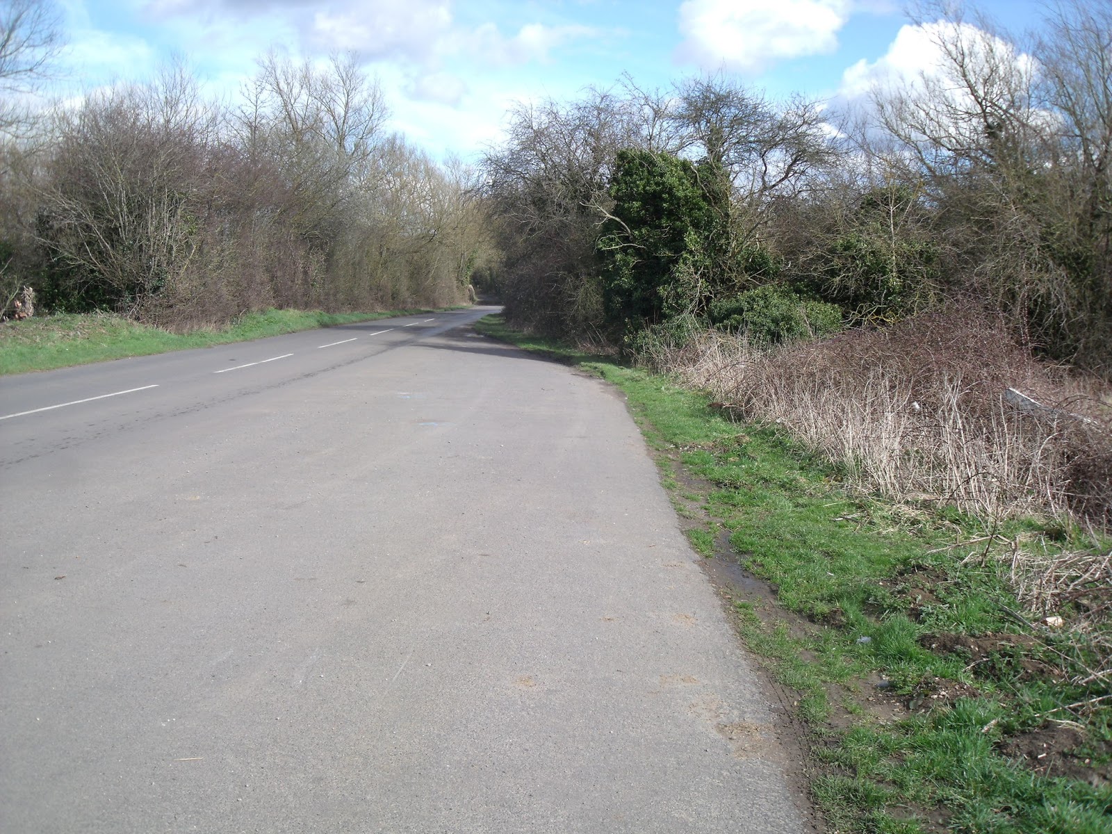


1 comment:
Les ... is there a book in this? Interesting stuff ... even across the pond. Karen in Pullman
Post a Comment